Geolocate

Ringle topographic map

Click on the map to display elevation.

About this map

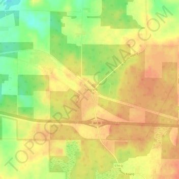
Name: Ringle topographic map, elevation, terrain.

Location: Ringle, Marathon County, Wisconsin, 54471, United States (44.87108 -89.44567 44.91108 -89.40567)

Average elevation: 401 m

Minimum elevation: 372 m

Maximum elevation: 416 m

Other topographic maps

Click on a map to view its topography, its elevation and its terrain.

Rib Mountain

United States > Wisconsin > Marathon County

Average elevation: 380 m

Rothschild

United States > Wisconsin > Marathon County

Average elevation: 367 m

Abbotsford

United States > Wisconsin > Marathon County

Average elevation: 427 m

Kronenwetter

United States > Wisconsin > Marathon County

Average elevation: 373 m

Athens

United States > Wisconsin > Marathon County

Average elevation: 420 m

Hatley

United States > Wisconsin > Marathon County

Average elevation: 393 m

Spencer

United States > Wisconsin > Marathon County

Average elevation: 398 m

Gear up for your next adventure:

🥾Waterproof Trail Shoes - Shoes designed to handle wet terrain
Family Camping Tent - Spacious tent suitable for family camping trips
🥾Light Trekking Boots - Supportive boots for multi-day treks
👟Sport Hiking Sandals - Breathable footwear for water crossings and camp rest
🥾Hiking Shorts - Breathable shorts suitable for summer hikes

As an Amazon Associate, this site earns from qualifying purchases at no extra cost to you.