Geolocate

Vestignano topographic map

Click on the map to display elevation.

About this map

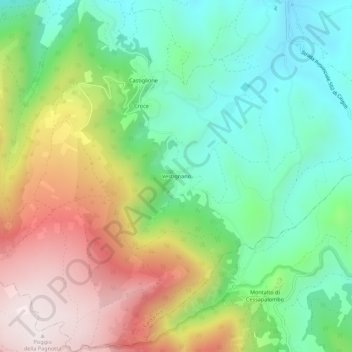
Name: Vestignano topographic map, elevation, terrain.

Location: Vestignano, Caldarola, Macerata, Marche, Italy (43.09762 13.18883 43.13762 13.22883)

Average elevation: 630 m

Minimum elevation: 301 m

Maximum elevation: 1,149 m

Gear up for your next adventure:

🧤Insulated Winter Gloves - Heavy-duty protection for sub-zero Canadian adventures
🧴Bear Spray Holster - Quick-access carry for essential Canadian wilderness safety
🥫Freeze-Dried Meals - Lightweight, high-calorie nutrition for multi-day treks
🕶️Polarized Sunglasses - Reduces glare from snow and water at high elevations
🥾Hiking Boots - Sturdy boots providing ankle support and traction on rugged trails

As an Amazon Associate, this site earns from qualifying purchases at no extra cost to you.