
Suti Semarang topographic map
Interactive map
Click on the map to display elevation.
About this map
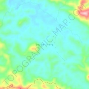
Name: Suti Semarang topographic map, elevation, terrain.
Location: Suti Semarang, Bengkayang, Kalimantan occidental, Indonésie (0.83861 109.72691 0.87861 109.76691)
Average elevation: 101 m
Minimum elevation: 54 m
Maximum elevation: 262 m