
Malbork topographic map
Interactive map
Click on the map to display elevation.
About this map
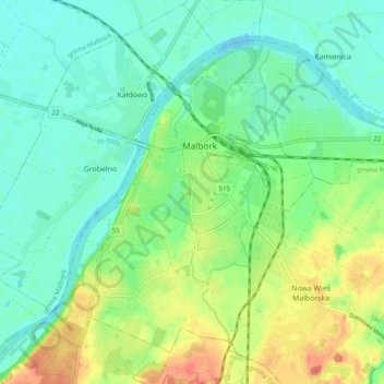
Name: Malbork topographic map, elevation, terrain.
Location: Malbork, powiat malborski, Woiwodschap Pommeren, 82-200, Polen (54.00537 18.99627 54.05165 19.09243)
Average elevation: 17 m
Minimum elevation: -2 m
Maximum elevation: 47 m