Geolocate

De Kiel topographic map

Click on the map to display elevation.

About this map

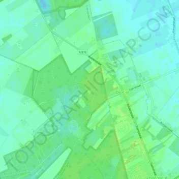
Name: De Kiel topographic map, elevation, terrain.

Location: De Kiel, Coevorden, Drenthe, Netherlands (52.84765 6.71456 52.87869 6.75446)

Average elevation: 19 m

Minimum elevation: 14 m

Maximum elevation: 25 m

Gear up for your next adventure:

🎒Hiking Daypack - Lightweight and durable backpacks for day trips and excursions
🥾Trekking Boots - Durable boots for long-distance trekking
🔦LED Flashlight - Powerful and long-lasting flashlight for camping and emergencies
👟Leg Gaiters - Keep debris, mud, and snow out of your boots
🧳Compression Sacks - Maximize space in your backpack by shrinking gear

As an Amazon Associate, this site earns from qualifying purchases at no extra cost to you.