Geolocate

Navalur topographic map

Click on the map to display elevation.

About this map
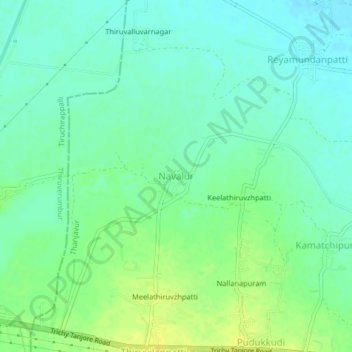
Name: Navalur topographic map, elevation, terrain.

Location: Navalur, Thanjavur, Tamil Nadu, India (10.73231 78.86094 10.77231 78.90094)

Average elevation: 69 m

Minimum elevation: 60 m

Maximum elevation: 81 m

Gear up for your next adventure:

🧥Packable Rain Jacket - Breathable waterproof layer for unpredictable weather
🦯Trekking Poles - Reduced impact on joints for steep topographic climbs
🔦UV Flashlight - Detect minerals or specific insects in the dark
👟Leg Gaiters - Keep debris, mud, and snow out of your boots
🥘Camping Cookware Set - Compact nesting pots and pans for trail cooking

As an Amazon Associate, this site earns from qualifying purchases at no extra cost to you.