Geolocate

Eston topographic map

Click on the map to display elevation.

About this map

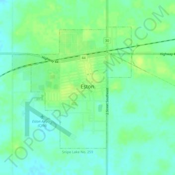
Name: Eston topographic map, elevation, terrain.

Location: Eston, Division No. 8, Saskatchewan, S0L 1A0, Canada (51.13980 -108.77152 51.15856 -108.74217)

Average elevation: 680 m

Minimum elevation: 673 m

Maximum elevation: 687 m

Gear up for your next adventure:

🧰Emergency Multi-Tool - Compact multi-tool for outdoor survival
🛶Waterproof Dry Bags - Keep electronics and clothes dry during river crossings
🔭Compact Monocular - One-handed bird watching and trail spotting
🧥Waterproof Pants - Keep dry during rainy hiking conditions
🧭GPS Tracker - Track your location in remote areas safely

As an Amazon Associate, this site earns from qualifying purchases at no extra cost to you.