Geolocate

Giror topographic map

Click on the map to display elevation.

About this map

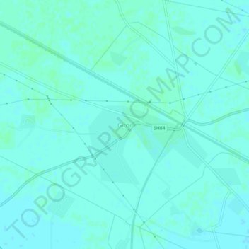
Name: Giror topographic map, elevation, terrain.

Location: Giror, Mainpuri, Uttar Pradesh, 205121, India (27.16940 78.77422 27.20940 78.81422)

Average elevation: 160 m

Minimum elevation: 158 m

Maximum elevation: 162 m

Gear up for your next adventure:

🛌Insulated Sleeping Pad - Critical thermal barrier between you and the cold ground
🧴Bear Spray Holster - Quick-access carry for essential Canadian wilderness safety
🧥Waterproof Hiking Jacket - Protect yourself from rain and wind while hiking
🧭Orienteering Kit - Tools for map reading and navigation in the wild
🦶Anti-Blister Balm - Prevents friction and hotspots during long ascents

As an Amazon Associate, this site earns from qualifying purchases at no extra cost to you.