
26 de Octubre topographic map
Interactive map
Click on the map to display elevation.
About this map
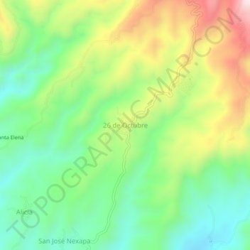
Name: 26 de Octubre topographic map, elevation, terrain.
Location: 26 de Octubre, Tapachula, Chiapas, México (15.07130 -92.26243 15.11130 -92.22243)
Average elevation: 818 m
Minimum elevation: 590 m
Maximum elevation: 1,164 m