
Staverden topographic map
Interactive map
Click on the map to display elevation.
About this map
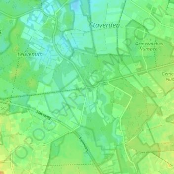
Name: Staverden topographic map, elevation, terrain.
Location: Staverden, Geldern, Niederlande, 3852, Niederlande (52.26446 5.71276 52.30446 5.75276)
Average elevation: 23 m
Minimum elevation: 12 m
Maximum elevation: 39 m