
Weurt topographic map
Interactive map
Click on the map to display elevation.
About this map
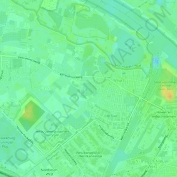
Name: Weurt topographic map, elevation, terrain.
Location: Weurt, Beuningen, Geldern, Niederlande (51.84088 5.77984 51.87277 5.82570)
Average elevation: 10 m
Minimum elevation: -2 m
Maximum elevation: 28 m