
Autan topographic map
Interactive map
Click on the map to display elevation.
About this map
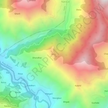
Name: Autan topographic map, elevation, terrain.
Location: Autan, Banjar, Kullu District, Himachal Pradesh, Inde (31.66355 77.29066 31.70355 77.33066)
Average elevation: 1,797 m
Minimum elevation: 1,138 m
Maximum elevation: 2,628 m