Geolocate

Nacharam topographic map

Click on the map to display elevation.

About this map

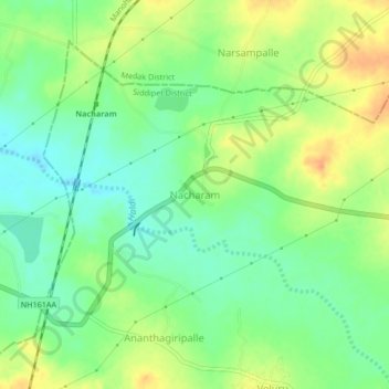
Name: Nacharam topographic map, elevation, terrain.

Location: Nacharam, Wargal mandal, Siddipet District, Telangana, India (17.80318 78.51615 17.84318 78.55615)

Average elevation: 548 m

Minimum elevation: 531 m

Maximum elevation: 569 m

Gear up for your next adventure:

🦯Trekking Poles - Reduced impact on joints for steep topographic climbs
Camping Essentials - All-in-one gear for a comfortable camping trip
💧Hydration Pack - Hands-free hydration system for long hikes
🧥Softshell Hiking Jacket - The perfect balance of wind protection and breathability
🛏️Sleeping Bag - Warm and compact sleeping bags for outdoor camping

As an Amazon Associate, this site earns from qualifying purchases at no extra cost to you.