Geolocate

Highlandville topographic map

Click on the map to display elevation.

Highlandville

A post office called Highlandville has been in operation since 1872. The city was named on account of its lofty elevation.

Wikipedia (CC-BY-SA 3.0)

About this map

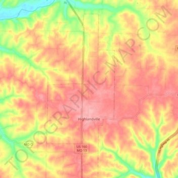
Name: Highlandville topographic map, elevation, terrain.

Location: Highlandville, Christian County, Missouri, United States (36.90775 -93.30350 36.98317 -93.26687)

Average elevation: 385 m

Minimum elevation: 319 m

Maximum elevation: 422 m

Other topographic maps

Click on a map to view its topography, its elevation and its terrain.

Chadwick

United States > Missouri > Christian County

Average elevation: 385 m

Gear up for your next adventure:

🔭Compact Monocular - One-handed bird watching and trail spotting
🧥Thermal Layer - Insulating layer for cold outdoor conditions
🧭GPS Tracker - Track your location in remote areas safely
💡Solar Camping Lamp - Eco-friendly lighting for campsites
🥾Hiking Leggings - Comfortable leggings for outdoor activities

As an Amazon Associate, this site earns from qualifying purchases at no extra cost to you.