Geolocate

Semana topographic map

Click on the map to display elevation.

About this map

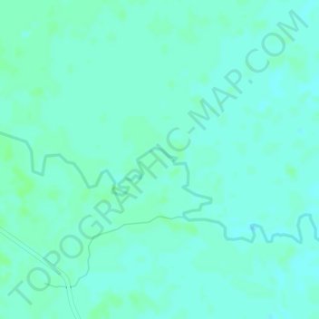
Name: Semana topographic map, elevation, terrain.

Location: Semana, San Luis de Palenque, Casanare, RAP Llanos, Colombia (5.26192 -71.72459 5.28192 -71.70459)

Average elevation: 165 m

Minimum elevation: 161 m

Maximum elevation: 168 m

Gear up for your next adventure:

🚲MTB Frame Bag - Carry tools and maps directly on your bicycle frame
🥾Trail Running Shoes - Lightweight and durable shoes for trail running
🧭GPS Handheld Device - Reliable GPS navigation for outdoor adventures
🧳Compression Sacks - Maximize space in your backpack by shrinking gear
🥾Hiking Shorts - Breathable shorts suitable for summer hikes

As an Amazon Associate, this site earns from qualifying purchases at no extra cost to you.