
Rabia topographic map
Interactive map
Click on the map to display elevation.
About this map
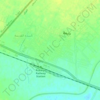
Name: Rabia topographic map, elevation, terrain.
Location: Rabia, Al Mnsul Qadha, Nineveh, Iraq (36.79489 42.07827 36.81254 42.10858)
Average elevation: 389 m
Minimum elevation: 380 m
Maximum elevation: 396 m