Geolocate

Pichari topographic map

Click on the map to display elevation.

About this map

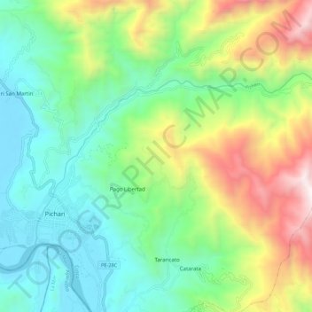
Name: Pichari topographic map, elevation, terrain.

Location: Pichari, Provincia de La Convención, Cuzco, Perú (-12.53092 -73.83483 -12.46980 -73.72556)

Average elevation: 1,149 m

Minimum elevation: 530 m

Maximum elevation: 2,474 m

Gear up for your next adventure:

🔥Camping Stove - Portable stoves to cook outdoors with ease
👖Convertible Hiking Pants - Zip-off legs to adapt to changing weather conditions
🧦Thermal Socks - Warm socks for winter hiking or camping
🧦Outdoor Socks - Durable socks designed for hiking and outdoor sports
🐕Hiking Dog Pack - Let your canine companion carry their own water and food

As an Amazon Associate, this site earns from qualifying purchases at no extra cost to you.