
Make a donation
Gear up for your next adventure:
As an Amazon Associate, this site earns from qualifying purchases at no extra cost to you.
Frobisher topographic map
Click on the map to display elevation.
Make a donation
Gear up for your next adventure:
As an Amazon Associate, this site earns from qualifying purchases at no extra cost to you.
Frobisher
Frobisher (2016 population: 160) is a village in the Canadian province of Saskatchewan within the Rural Municipality of Coalfields No. 4 and Census Division No. 1. It has an elevation of 576 metres (1891 feet) above sea level.
Make a donation
Gear up for your next adventure:
As an Amazon Associate, this site earns from qualifying purchases at no extra cost to you.
About this map
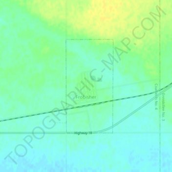
Name: Frobisher topographic map, elevation, terrain.
Location: Frobisher, Division No. 1, Saskatchewan, Canada (49.20265 -102.43262 49.21736 -102.42125)
Average elevation: 577 m
Minimum elevation: 569 m
Maximum elevation: 589 m
Division No. 1 trails, hiking, mountain biking, running and outdoor activities
Make a donation
Gear up for your next adventure:
As an Amazon Associate, this site earns from qualifying purchases at no extra cost to you.