
Laguna De Retana topographic map
Interactive map
Click on the map to display elevation.
About this map
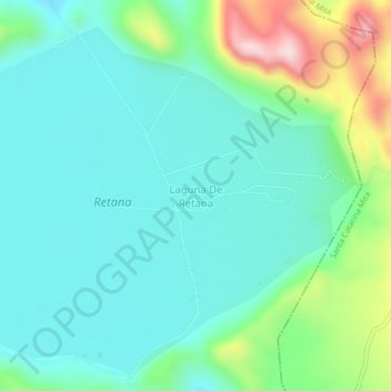
Name: Laguna De Retana topographic map, elevation, terrain.
Location: Laguna De Retana, El Progreso, Jutiapa, Guatemala (14.39718 -89.85088 14.43718 -89.81088)
Average elevation: 1,101 m
Minimum elevation: 1,010 m
Maximum elevation: 1,395 m