
ولسوالی کوهبند topographic map
Interactive map
Click on the map to display elevation.
About this map
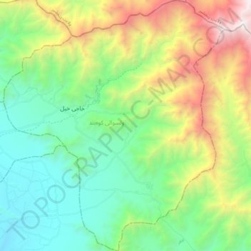
Name: ولسوالی کوهبند topographic map, elevation, terrain.
Location: ولسوالی کوهبند, Kapisa, Afghanistan (35.02081 69.38161 35.17516 69.54808)
Average elevation: 2,439 m
Minimum elevation: 1,454 m
Maximum elevation: 4,601 m