Geolocate

Cherokee Hills topographic map

Click on the map to display elevation.

About this map

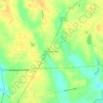
Name: Cherokee Hills topographic map, elevation, terrain.

Location: Cherokee Hills, Coffee County, Georgia, United States (31.52603 -82.82292 31.56603 -82.78292)

Average elevation: 70 m

Minimum elevation: 52 m

Maximum elevation: 83 m

Gear up for your next adventure:

🧭Orienteering Kit - Tools for map reading and navigation in the wild
🛰️Satellite Messenger - Emergency communication for areas with no cell service
🪑Ultralight Camping Stool - Compact seating for rest stops during long hikes
🥾Mountain Trail Shoes - High-traction shoes for mountain trails
🛶Kayak Accessories - Essential gear for safe and fun kayaking adventures

As an Amazon Associate, this site earns from qualifying purchases at no extra cost to you.