Geolocate

Gaucín topographic map

Click on the map to display elevation.

About this map

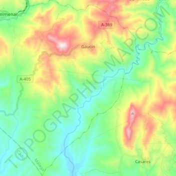
Name: Gaucín topographic map, elevation, terrain.

Location: Gaucín, Serranía de Ronda, Malaga, Andalusia, 29480, Spain (36.43380 -5.41463 36.54983 -5.27543)

Average elevation: 348 m

Minimum elevation: 33 m

Maximum elevation: 997 m

Gear up for your next adventure:

🧊Insulated Water Bottle - Keeps drinks cold in summer and prevents freezing in winter
Backpacking Tent - Lightweight tent for long-distance hiking trips
💧Hydration Pack - Hands-free hydration system for long hikes
🥾Hiking Gaiters - Protect legs and shoes from mud, snow, and debris
🌬️Windproof Camp Stove - Efficient cooking even on exposed mountain peaks

As an Amazon Associate, this site earns from qualifying purchases at no extra cost to you.