Geolocate

Chedburgh topographic map

Click on the map to display elevation.

About this map

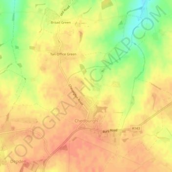
Name: Chedburgh topographic map, elevation, terrain.

Location: Chedburgh, West Suffolk, Suffolk, England, United Kingdom (52.18228 0.60820 52.20470 0.63904)

Average elevation: 115 m

Minimum elevation: 84 m

Maximum elevation: 128 m

Gear up for your next adventure:

🔭Compact Monocular - One-handed bird watching and trail spotting
💡Compact LED Flashlight - Powerful and portable flashlight for outdoor use
🧥Thermal Layer - Insulating layer for cold outdoor conditions
🥾Mountain Trail Shoes - High-traction shoes for mountain trails
🥾Mountain Hiking Boots - High-traction boots for rocky terrain

As an Amazon Associate, this site earns from qualifying purchases at no extra cost to you.