
Unia topographic map
Interactive map
Click on the map to display elevation.
About this map
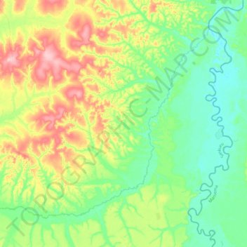
Name: Unia topographic map, elevation, terrain.
Location: Unia, Sankuru, RD Congo (-3.79310 24.37509 -3.49361 24.76448)
Average elevation: 510 m
Minimum elevation: 451 m
Maximum elevation: 639 m