
Bagn topographic map
Interactive map
Click on the map to display elevation.
About this map
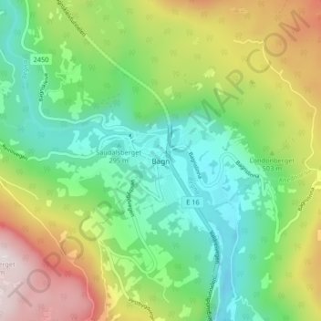
Name: Bagn topographic map, elevation, terrain.
Location: Bagn, Sør-Aurdal, Innlandet, Norvège (60.80336 9.53102 60.84336 9.57102)
Average elevation: 462 m
Minimum elevation: 222 m
Maximum elevation: 902 m