
Ghaziabad topographic map
Interactive map
Click on the map to display elevation.
About this map
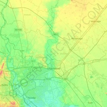
Name: Ghaziabad topographic map, elevation, terrain.
Location: Ghaziabad, Ghaziabad District, Uttar Pradesh, India (28.60913 77.19924 28.83483 77.61510)
Average elevation: 213 m
Minimum elevation: 195 m
Maximum elevation: 244 m
Other topographic maps
Click on a map to view its topography, its elevation and its terrain.
Sahibabad
India > Uttar Pradesh > Ghaziabad District
Sahibabad, Ghaziabad District, Uttar Pradesh, India
Average elevation: 208 m