
Al Lataminah topographic map
Interactive map
Click on the map to display elevation.
About this map
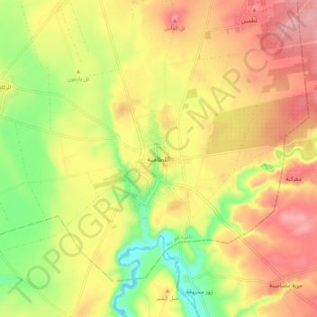
Name: Al Lataminah topographic map, elevation, terrain.
Location: Al Lataminah, Hama, Syria (35.28263 36.58449 35.36263 36.66449)
Average elevation: 291 m
Minimum elevation: 218 m
Maximum elevation: 353 m