
Lares topographic map
Interactive map
Click on the map to display elevation.
About this map
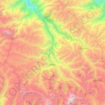
Name: Lares topographic map, elevation, terrain.
Location: Lares, Calca, Cusco, Peru (-13.21499 -72.19120 -12.92083 -71.86179)
Average elevation: 3,944 m
Minimum elevation: 1,896 m
Maximum elevation: 5,744 m