
Lakemoor topographic map
Interactive map
Click on the map to display elevation.
About this map
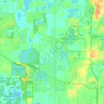
Name: Lakemoor topographic map, elevation, terrain.
Location: Lakemoor, McHenry County, Illinois, United States (42.31402 -88.23807 42.37216 -88.16114)
Average elevation: 233 m
Minimum elevation: 221 m
Maximum elevation: 257 m