
Grand-Halleux topographic map
Interactive map
Click on the map to display elevation.
About this map
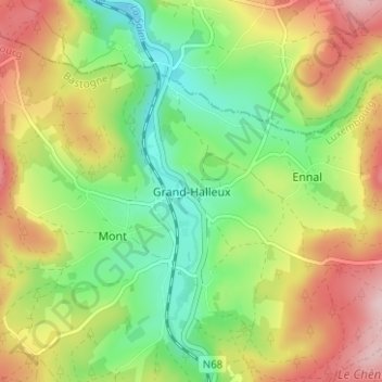
Name: Grand-Halleux topographic map, elevation, terrain.
Location: Grand-Halleux, Bastogne, Luxembourg, Wallonie, 6698, Belgique (50.30628 5.88725 50.34628 5.92725)
Average elevation: 388 m
Minimum elevation: 287 m
Maximum elevation: 521 m