
آبروان topographic map
Interactive map
Click on the map to display elevation.
About this map
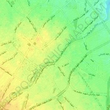
Name: آبروان topographic map, elevation, terrain.
Location: آبروان, Ardabil, بخش مرکزی, شهرستان اردبیل, Ardabil, Iran (38.24385 48.29951 38.24855 48.30522)
Average elevation: 1,348 m
Minimum elevation: 1,333 m
Maximum elevation: 1,357 m