
Phelps topographic map
Interactive map
Click on the map to display elevation.
About this map
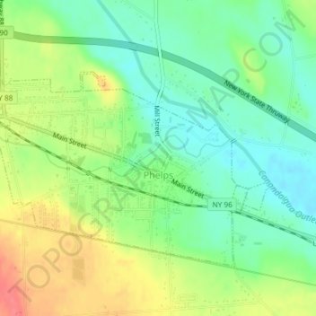
Name: Phelps topographic map, elevation, terrain.
Location: Phelps, Ontario County, New York, United States (42.94973 -77.07682 42.96828 -77.04565)
Average elevation: 162 m
Minimum elevation: 135 m
Maximum elevation: 200 m