Geolocate

Bulu Poddo topographic map

Click on the map to display elevation.

About this map

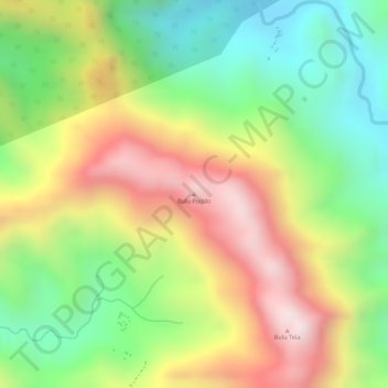
Name: Bulu Poddo topographic map, elevation, terrain.

Location: Bulu Poddo, Barru, South Sulawesi, Sulawesi, Indonesia (-4.59485 119.65975 -4.59475 119.65985)

Average elevation: 384 m

Minimum elevation: 82 m

Maximum elevation: 720 m

Gear up for your next adventure:

👟Trail Running Shoes - Agile footwear for fast-paced topographic exploration
💧Collapsible Water Bottle - Space-saving water bottle for outdoor activities
🍽️Titanium Camping Spork - Ultralight and indestructible eating utensil
🛏️Camping Sleeping Mat - Comfortable mats for sleeping outdoors
🧦Thermal Socks - Warm socks for winter hiking or camping

As an Amazon Associate, this site earns from qualifying purchases at no extra cost to you.