Geolocate

Hanur topographic map

Click on the map to display elevation.

About this map

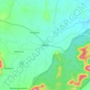
Name: Hanur topographic map, elevation, terrain.

Location: Hanur, Hanur taluk, Chamarajanagar, Karnataka, 571439, India (12.04703 77.26180 12.12703 77.34180)

Average elevation: 673 m

Minimum elevation: 606 m

Maximum elevation: 925 m

Gear up for your next adventure:

🕯️Camping Lantern - Illuminates your entire campsite with high-efficiency LEDs
🥾Waterproof Hiking Boots - Essential footwear for rugged terrain and wet Canadian trails
🧭GPS Outdoor Watch - Smart watch for navigation and fitness tracking in nature
🧤Rechargeable Heated Gloves - Extreme warmth for Canadian winter expeditions
🥾Lightweight Hiking Boots - Boots for comfort and mobility on long hikes

As an Amazon Associate, this site earns from qualifying purchases at no extra cost to you.