Geolocate

Las Botas topographic map

Click on the map to display elevation.

About this map

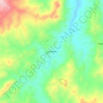
Name: Las Botas topographic map, elevation, terrain.

Location: Las Botas, El Tambo, Centro, Cauca, RAP Pacífico, Colombia (2.46217 -76.87239 2.50217 -76.83239)

Average elevation: 1,729 m

Minimum elevation: 1,626 m

Maximum elevation: 1,900 m

Gear up for your next adventure:

🥾Mountain Hiking Shoes - Shoes with superior grip for mountainous terrain
🧣Evaporative Cooling Towel - Beat the heat during intense summer climbs
🧥Waterproof Pants - Keep dry during rainy hiking conditions
🍽️Titanium Camping Spork - Ultralight and indestructible eating utensil
🦌Outdoor Trail Camera - Monitor wildlife activity near your favorite spots

As an Amazon Associate, this site earns from qualifying purchases at no extra cost to you.