
Magnard topographic map
Interactive map
Click on the map to display elevation.
About this map
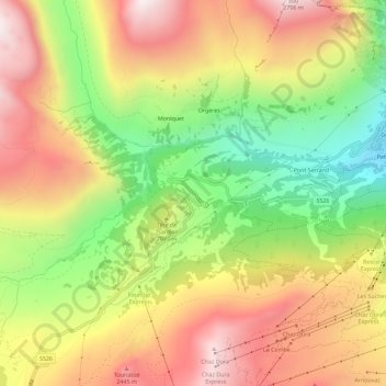
Name: Magnard topographic map, elevation, terrain.
Location: Magnard, La Thuile, Vallée d'Aoste, 11016, Italie (45.68822 6.89294 45.72822 6.93294)
Average elevation: 2,068 m
Minimum elevation: 1,496 m
Maximum elevation: 2,609 m