Geolocate

Lac du Bonnet topographic map

Click on the map to display elevation.

About this map

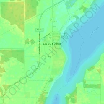
Name: Lac du Bonnet topographic map, elevation, terrain.

Location: Lac du Bonnet, Winnipeg (city), Manitoba, Canada (50.23637 -96.07329 50.26826 -96.04665)

Average elevation: 260 m

Minimum elevation: 252 m

Maximum elevation: 268 m

Manitoba trails, hiking, mountain biking, running and outdoor activities

Gear up for your next adventure:

🧳Compression Sacks - Maximize space in your backpack by shrinking gear
🔥Camping Stove - Portable stoves to cook outdoors with ease
Camping Essentials - All-in-one gear for a comfortable camping trip
🧥Fleece Jacket - Warm and lightweight jacket for layering
🧥Waterproof Hiking Jacket - Protect yourself from rain and wind while hiking

As an Amazon Associate, this site earns from qualifying purchases at no extra cost to you.