Geolocate

Cayalti topographic map

Click on the map to display elevation.

About this map

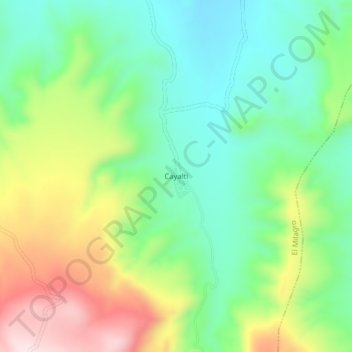
Name: Cayalti topographic map, elevation, terrain.

Location: Cayalti, El Milagro, Utcubamba, Amazonas, Perú (-5.77780 -78.60574 -5.73780 -78.56574)

Average elevation: 704 m

Minimum elevation: 561 m

Maximum elevation: 954 m

Gear up for your next adventure:

🥾Waterproof Hiking Boots - Essential footwear for rugged terrain and wet Canadian trails
🚑Survival Whistle - Signal for help across long distances in mountains
🥾Mountaineering Boots - Supportive boots for climbing and high-altitude hiking
🔋Solar Power Bank - Keep your GPS and devices charged during long outdoor trips
Tent Footprint - Protect tent floor and increase durability

As an Amazon Associate, this site earns from qualifying purchases at no extra cost to you.