Geolocate

Grigoleti topographic map

Click on the map to display elevation.

About this map

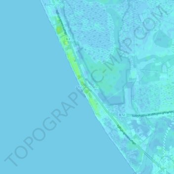
Name: Grigoleti topographic map, elevation, terrain.

Location: Grigoleti, Lanchkhuti Municipality, Guria, Georgia (42.01991 41.71637 42.05991 41.75637)

Average elevation: 1 m

Minimum elevation: -3 m

Maximum elevation: 11 m

Gear up for your next adventure:

🧦Merino Wool Socks - Moisture-wicking comfort for long-distance hiking
🥾Lightweight Hiking Boots - Boots for comfort and mobility on long hikes
🚲MTB Frame Bag - Carry tools and maps directly on your bicycle frame
🚲Handlebar Phone Mount - View topographic-map.com live while cycling
Backpacking Tent - Lightweight tent for long-distance hiking trips

As an Amazon Associate, this site earns from qualifying purchases at no extra cost to you.