Geolocate

Hazelbrook topographic map

Click on the map to display elevation.

About this map

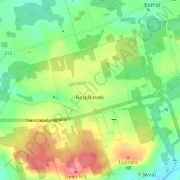
Name: Hazelbrook topographic map, elevation, terrain.

Location: Hazelbrook, Queens County, Prince Edward Island, Canada (46.20986 -63.03555 46.23682 -62.97134)

Average elevation: 37 m

Minimum elevation: -1 m

Maximum elevation: 92 m

Queens County trails, hiking, mountain biking, running and outdoor activities

Gear up for your next adventure:

🧥Thermal Fleece Jacket - Versatile insulation for changing mountain temperatures
Camping Coffee Maker - Brew fresh coffee anywhere on the topographic map
🔪Outdoor Multitool - Versatile tool for repairs and food prep in the wild
🧰Multitool Knife - Compact and versatile tool for outdoor use
🥾Waterproof Hiking Boots - Boots keeping your feet dry in wet conditions

As an Amazon Associate, this site earns from qualifying purchases at no extra cost to you.