Geolocate

Salala topographic map

Click on the map to display elevation.

About this map

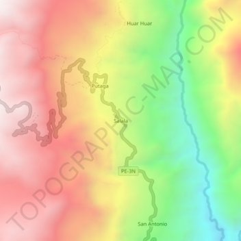
Name: Salala topographic map, elevation, terrain.

Location: Salala, El Carmen de la Frontera, Huancabamba, Piura, Perú (-5.13362 -79.48105 -5.09362 -79.44105)

Average elevation: 3,015 m

Minimum elevation: 2,318 m

Maximum elevation: 3,597 m

Other topographic maps

Click on a map to view its topography, its elevation and its terrain.

Laguna del Toro

Perú > Piura > El Carmen de la Frontera

Average elevation: 3,522 m

Gear up for your next adventure:

🧰Multitool Knife - Compact and versatile tool for outdoor use
🪑Ultralight Camping Stool - Compact seating for rest stops during long hikes
🩹Compact First Aid Kit - Pre-packed essentials for common trail injuries
Bushcraft Tarp - Versatile emergency shelter or gear protection
Camping Essentials - All-in-one gear for a comfortable camping trip

As an Amazon Associate, this site earns from qualifying purchases at no extra cost to you.