Geolocate

Timber Lakes topographic map

Click on the map to display elevation.

About this map

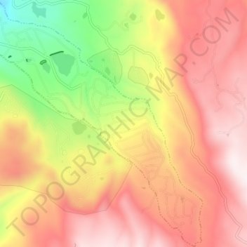
Name: Timber Lakes topographic map, elevation, terrain.

Location: Timber Lakes, Wasatch County, Utah, United States (40.44592 -111.28678 40.49682 -111.21964)

Average elevation: 2,493 m

Minimum elevation: 2,066 m

Maximum elevation: 2,803 m

Other topographic maps

Click on a map to view its topography, its elevation and its terrain.

Soldier Summit

United States > Utah > Wasatch County

Average elevation: 2,323 m

Heber City

United States > Utah > Wasatch County

Average elevation: 1,758 m

Gear up for your next adventure:

🧴Bear Spray Holster - Quick-access carry for essential Canadian wilderness safety
🧢Hiking Hat - Sun-protective and breathable hats for long treks
🧥Fleece Jacket - Warm and lightweight jacket for layering
🧴Sunscreen SPF - Broad-spectrum sunscreen for outdoor activities
🪑Insulated Seat Pad - Protect your seat from cold rocks and wet logs

As an Amazon Associate, this site earns from qualifying purchases at no extra cost to you.