
Sihor topographic map
Click on the map to display elevation.
Sihor
Sihor is located at 21°25′31″N 71°34′25″E / 21.425277°N 71.573604°E / 21.425277; 71.573604. It has an average elevation of 60 metres (196 feet).
About this map
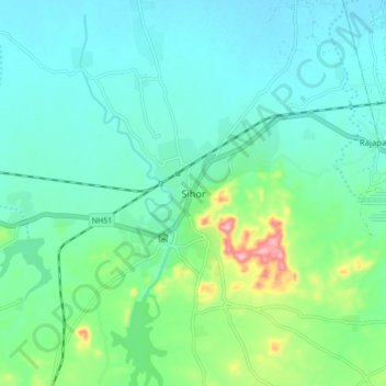
Name: Sihor topographic map, elevation, terrain.
Average elevation: 50 m
Minimum elevation: 15 m
Maximum elevation: 179 m