Geolocate

Ancobamba topographic map

Click on the map to display elevation.

About this map

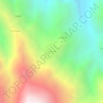
Name: Ancobamba topographic map, elevation, terrain.

Location: Ancobamba, Chapimarca, Aymaraes, Apurímac, Perú (-14.03759 -73.10286 -14.03321 -73.09854)

Average elevation: 3,585 m

Minimum elevation: 3,056 m

Maximum elevation: 4,253 m

Gear up for your next adventure:

🪑Insulated Seat Pad - Protect your seat from cold rocks and wet logs
🔦LED Flashlight - Powerful and long-lasting flashlight for camping and emergencies
🧭Orienteering Kit - Tools for map reading and navigation in the wild
🧢Hiking Sun Hat - Wide-brimmed protection for exposed mountain ridges
🛁Quick-Dry Microfiber Towel - Space-saving towel that dries rapidly on the move

As an Amazon Associate, this site earns from qualifying purchases at no extra cost to you.