Geolocate

Pattharkot topographic map

Click on the map to display elevation.

About this map

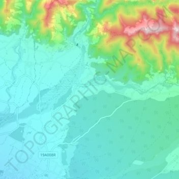
Name: Pattharkot topographic map, elevation, terrain.

Location: Pattharkot, Lalbandi, Sarlahi, Province #2, Nepal (27.05755 85.62542 27.13005 85.69804)

Average elevation: 234 m

Minimum elevation: 145 m

Maximum elevation: 592 m

Gear up for your next adventure:

🛌Down Sleeping Bag - Superior warmth-to-weight ratio for cold nights
🩹Compact First Aid Kit - Pre-packed essentials for common trail injuries
🔦UV Flashlight - Detect minerals or specific insects in the dark
🥾Approach Boots - Comfortable boots for hiking and climbing approaches
🧣Merino Neck Gaiter - Protects against wind, sun, and cold at high altitudes

As an Amazon Associate, this site earns from qualifying purchases at no extra cost to you.