
Pacayal topographic map
Interactive map
Click on the map to display elevation.
About this map
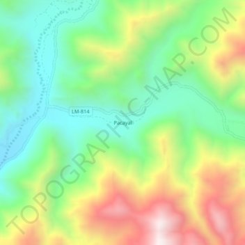
Name: Pacayal topographic map, elevation, terrain.
Location: Pacayal, Chilca, Cañete, Lima, Perú (-12.42708 -76.57098 -12.38708 -76.53098)
Average elevation: 840 m
Minimum elevation: 468 m
Maximum elevation: 1,434 m