Geolocate

Toppole topographic map

Click on the map to display elevation.

About this map

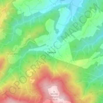
Name: Toppole topographic map, elevation, terrain.

Location: Toppole, Anghiari, Arezzo, Tuscany, Italy (43.49581 12.02349 43.49679 12.02444)

Average elevation: 509 m

Minimum elevation: 345 m

Maximum elevation: 765 m

Other topographic maps

Click on a map to view its topography, its elevation and its terrain.

Upacchi

Italy > Tuscany > Arezzo > Anghiari

Average elevation: 585 m

Gear up for your next adventure:

🔋Emergency Crank Radio - Weather alerts and power without needing batteries
🧢Outdoor Cap - Protective cap for sun and rain during hikes
🚲Heavy Duty Bike Lock - Secure your bike at the trailhead or during stops
🧥Packable Rain Jacket - Breathable waterproof layer for unpredictable weather
🧥Waterproof Hiking Jacket - Protect yourself from rain and wind while hiking

As an Amazon Associate, this site earns from qualifying purchases at no extra cost to you.