
Davis Island topographic map
Interactive map
Click on the map to display elevation.
About this map
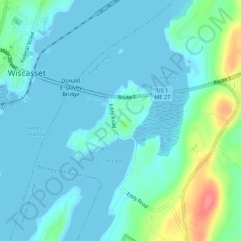
Name: Davis Island topographic map, elevation, terrain.
Location: Davis Island, Edgecomb, Lincoln County, Maine, United States (43.99255 -69.65870 44.00177 -69.64407)
Average elevation: 13 m
Minimum elevation: -4 m
Maximum elevation: 73 m