
Endana topographic map
Interactive map
Click on the map to display elevation.
About this map
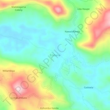
Name: Endana topographic map, elevation, terrain.
Location: Endana, Ratnapura District, Sabaragamuwa Province, Sri Lanka (6.51158 80.51367 6.55158 80.55367)
Average elevation: 315 m
Minimum elevation: 194 m
Maximum elevation: 559 m