Geolocate

Hermann topographic map

Click on the map to display elevation.

About this map

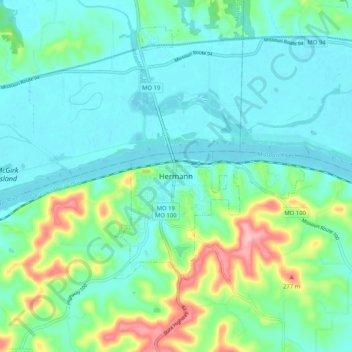
Name: Hermann topographic map, elevation, terrain.

Location: Hermann, Gasconade County, Missouri, 65941, United States (38.66421 -91.47738 38.74421 -91.39738)

Average elevation: 182 m

Minimum elevation: 149 m

Maximum elevation: 294 m

Gear up for your next adventure:

🧥Thermal Fleece Jacket - Versatile insulation for changing mountain temperatures
🧥Thermal Layer - Insulating layer for cold outdoor conditions
🏕️Camping Hammock - Integrated protection for sleeping between trees
🧢Sun Protection Cap - Breathable cap to protect from sun exposure
🥾Light Trekking Boots - Supportive boots for multi-day treks

As an Amazon Associate, this site earns from qualifying purchases at no extra cost to you.